
BeltLine Moves Forward; Streetcar Approaches
By: Jess Windham
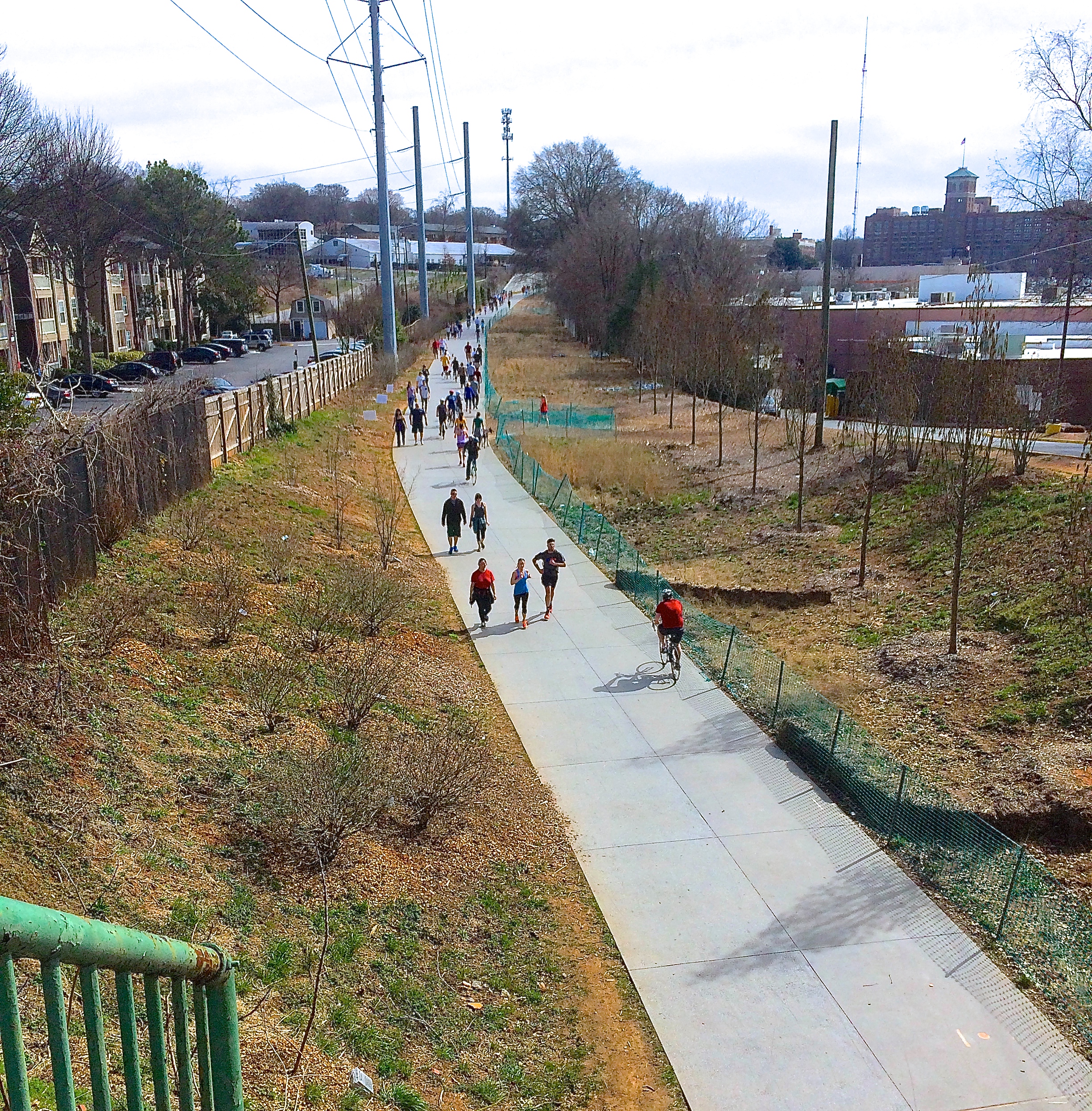 Living in Virginia-Highland, we have the good fortune of having nearby access to the BeltLine Eastside Trail. Whether you want to walk up to our newest, closest brewery Orpheus, bike to the soon-to-be-connected Historic Fourth Ward Park, or roller blade down to Chomp and Stomp for some chili, the BeltLine provides a fun, healthy and sustainable way to get to many of your destinations.
As much as we love the BeltLine now, there’s much more to come. The BeltLine aims to be more than a passive park loop for pedestrians and cyclists; there are plans for a light-rail transit corridor connecting both the first and future phases of the Atlanta Streetcar system, MARTA heavy rail, and the pedestrian/cycle trail we have grown to love. In terms of urban transit network development, using the BeltLine corridor for light rail will be the most feasible, attainable and affordable approach to developing Atlanta and Atlanta connectivity. You can find a full System Plan with map right here on the BeltLine’s website.
There’s much work yet to be done. For example, not all of the BeltLine’s 22-mile loop has been determined, funded, or acquired. Currently, BeltLine, Inc. is assessing possible transit routes in three specific focus areas: BeltLine East, BeltLine West and North Ave/Luckie Street.
Each focus area is undergoing an environmental assessment to vet alignment options and see what will likely work best for light rail functionality and the surrounding neighborhood. What looks reasonable on a map might not be feasible as you consider current car and cycle infrastructure, power and utility services, the surrounding neighborhood, and the always-present quandary of what the future holds. Current options have been narrowed down from a myriad of possible paths and now present practical, realistic routes for consideration.
 As the transit goes, so, too, will the pedestrian and cycle track, with transit presenting the greatest logistical challenge. For BeltLine East, Hulsey Yard sits in the path of the straightest connection between the current terminus at Irwin Street and Bill Kennedy Way near Glenwood Park. Three options are being reviewed, each with its own benefits and drawbacks.
- Option 1 follows future Streetcar expansion on Edgewood Ave., then goes south down Jackson Street to MARTA’s King Memorial Station. From there the line goes east down Memorial Drive.
- Option 2 goes straight south down Krog St. with a modified or new tunnel to Wylie Street, then east toward the Eastside Trail.
- Option 3 continues the Edgewood Ave. line to MARTA Inman Park/Reynoldstown Station then winds down Walthall to Wylie Street and the Eastside Trail.
While all of that is in the works and being discussed, Phase 1 of the Atlanta Streetcar aims to be up and running around September or October. They recently announced that over the next 60 to 90 days the rails will be tested to make sure the system is fully functional and safe before passengers begin riding the 2.7 mile loop.
Atlanta Streetcar’s first loop runs at 20 miles per hour in a counter-clockwise loop from Centennial Olympic Park, through Fairlie-Poplar Historic District, past Georgia State and Sweet Auburn Market, continuing up Edgewood Ave to the Martin Luther King, Jr. National Historic Site. From there, streetcars run west on Auburn Ave to Woodruff Park, up to Peachtree Center station, and back to Centennial Olympic Park.
For presentations and maps of the Transit Route Options, click here.