Below are images and links to a number of fascinating historic maps in and around what is now Virginia-Highland:
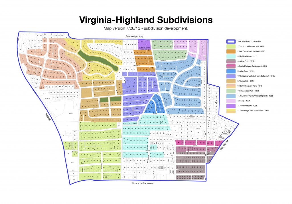
Virginia-Highland Key Historic Subdivisions
This map gives a general idea of the key historic subdivisions and the approximate dates of their development. Click on the map for a larger version.
 |
|
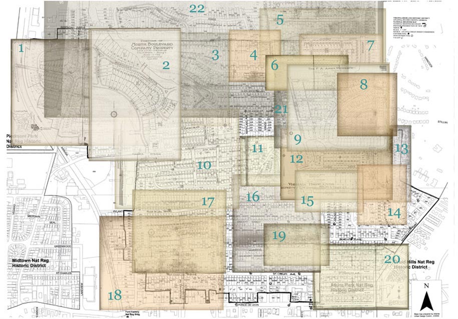
| 1890s‑ 1930s | Virginia-Highland Historical Development Maps
Browsable collections of dozens of original plat maps from your section of Virginia-Highland. |
|
|
|
 |
|
| 1949 | Aerial atlas of Atlanta The intersection of Virginia and Highland is in the lower left of map 93; you can navigate from there. Use with care; the time will fly by. There's a great view of a tree-sparse Orme Park in the middle of map 80 |
|
|
|
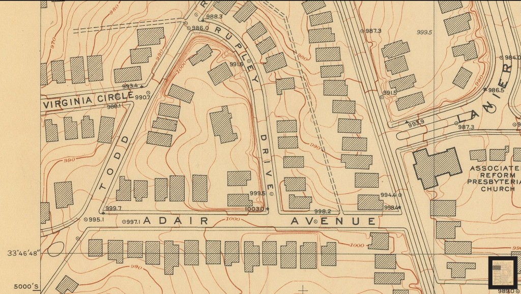
| 1928 | Topographic survey of Atlanta Only the area from Virginia Ave and south is available. |
|
|
|
 |
|
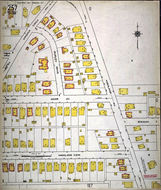
| 1911 & 1920 | Sanborn Fire Maps |
|
|
|
 |
|
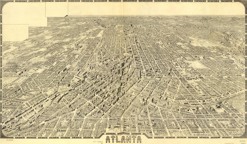
| 1919 | Birdseye map of Atlanta (15MB file) (Virginia-Highland visible on far northeast horizon) |
|
|
|
 |
|
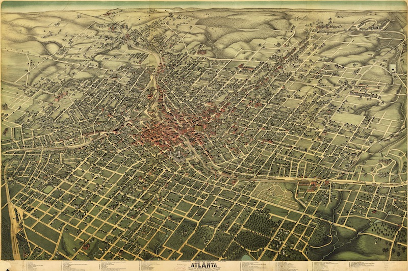
| 1892 | Birdseye map of Atlanta (18MB file) (Virginia-Highland not covered) |
|
|
|
 |
|
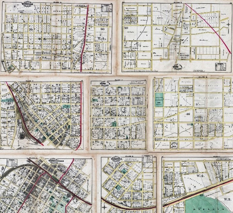
| 1878 | City atlas Note: does not cover what is today Virginia-Highland |
|
|
|
 |
|
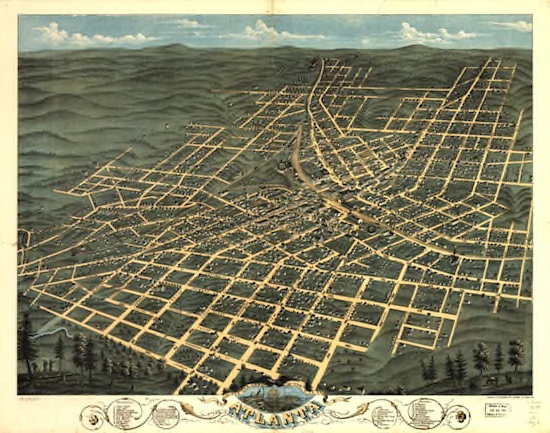
| 1871 | Birdseye map of Atlanta (13MB file) |
|
|
|
 |
|
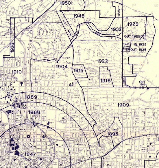
| Map of Annexations Which areas were annexed to the City of Atlanta in which years?
|
|
Many 19th century maps of Atlanta are available here on Wikipedia. Visit our Historic Preservation Committee page for more.
