
Cub Scouts and VHCA Partner to Raise Awareness for Protecting Our Waterways
By Jess Windham and Jack White
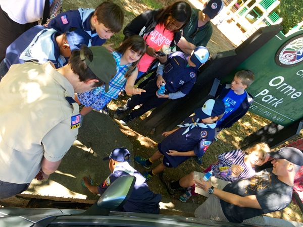
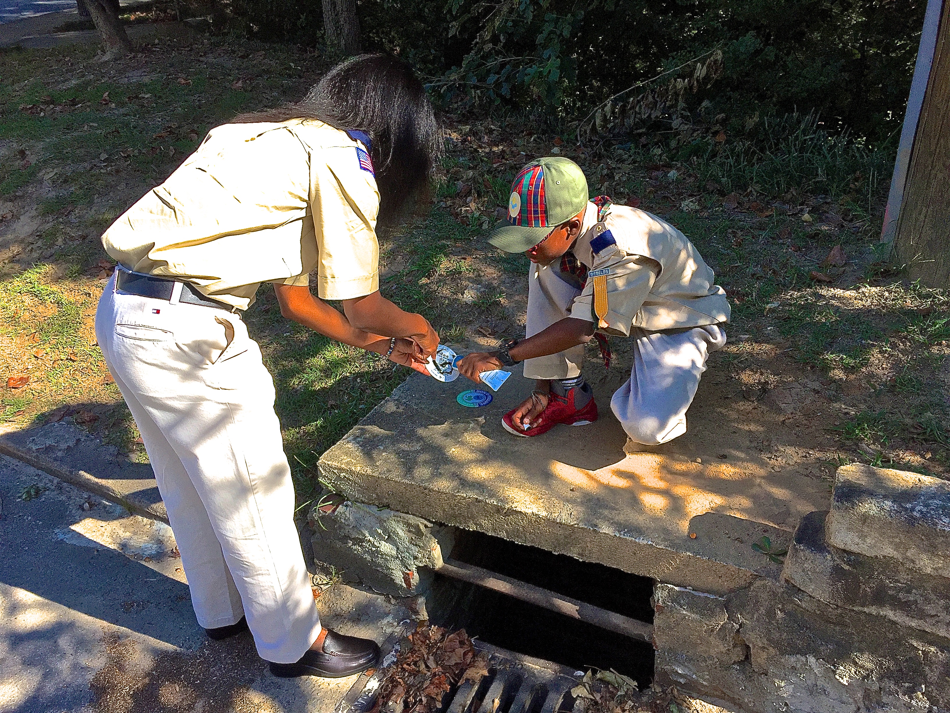
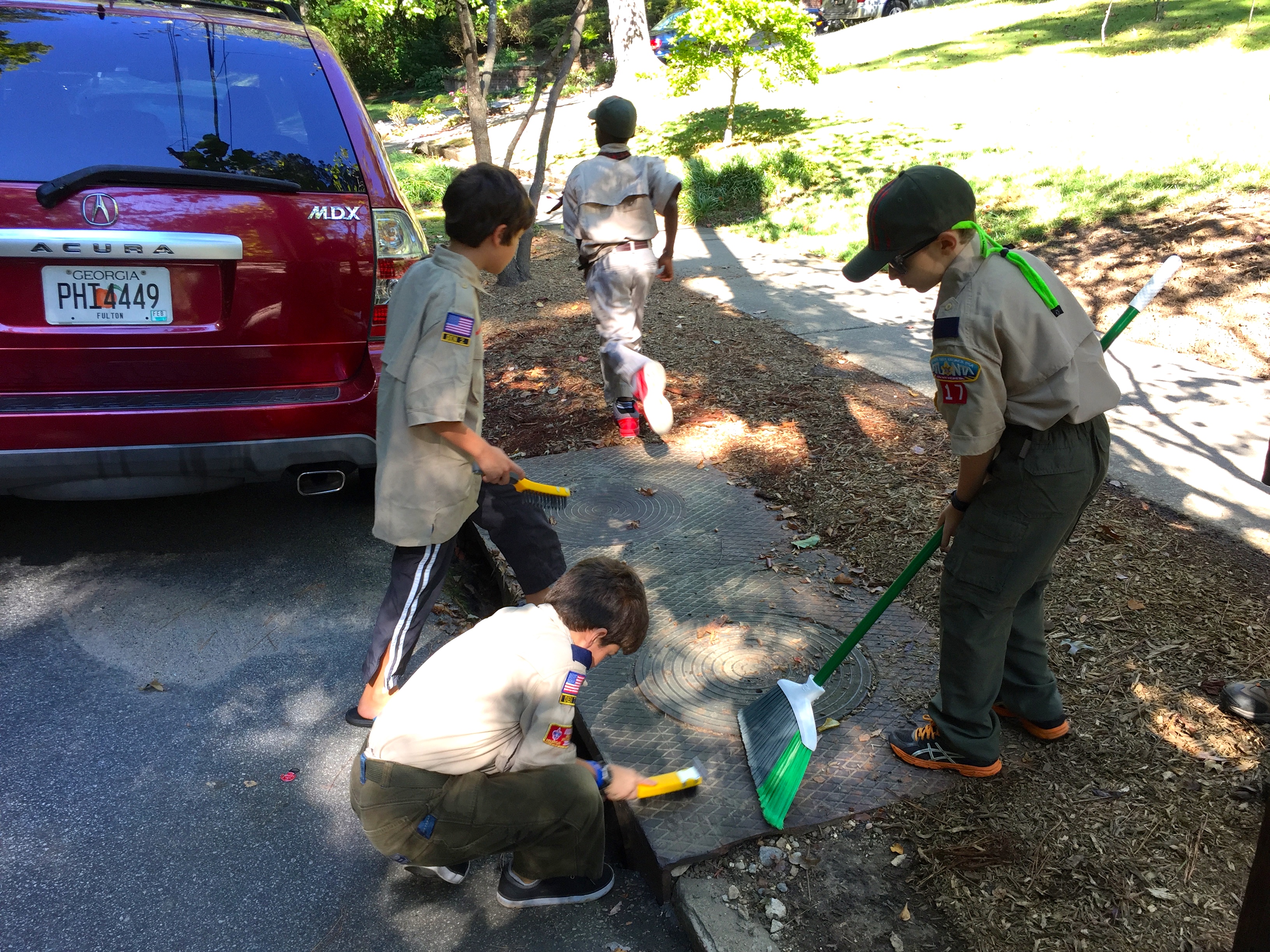
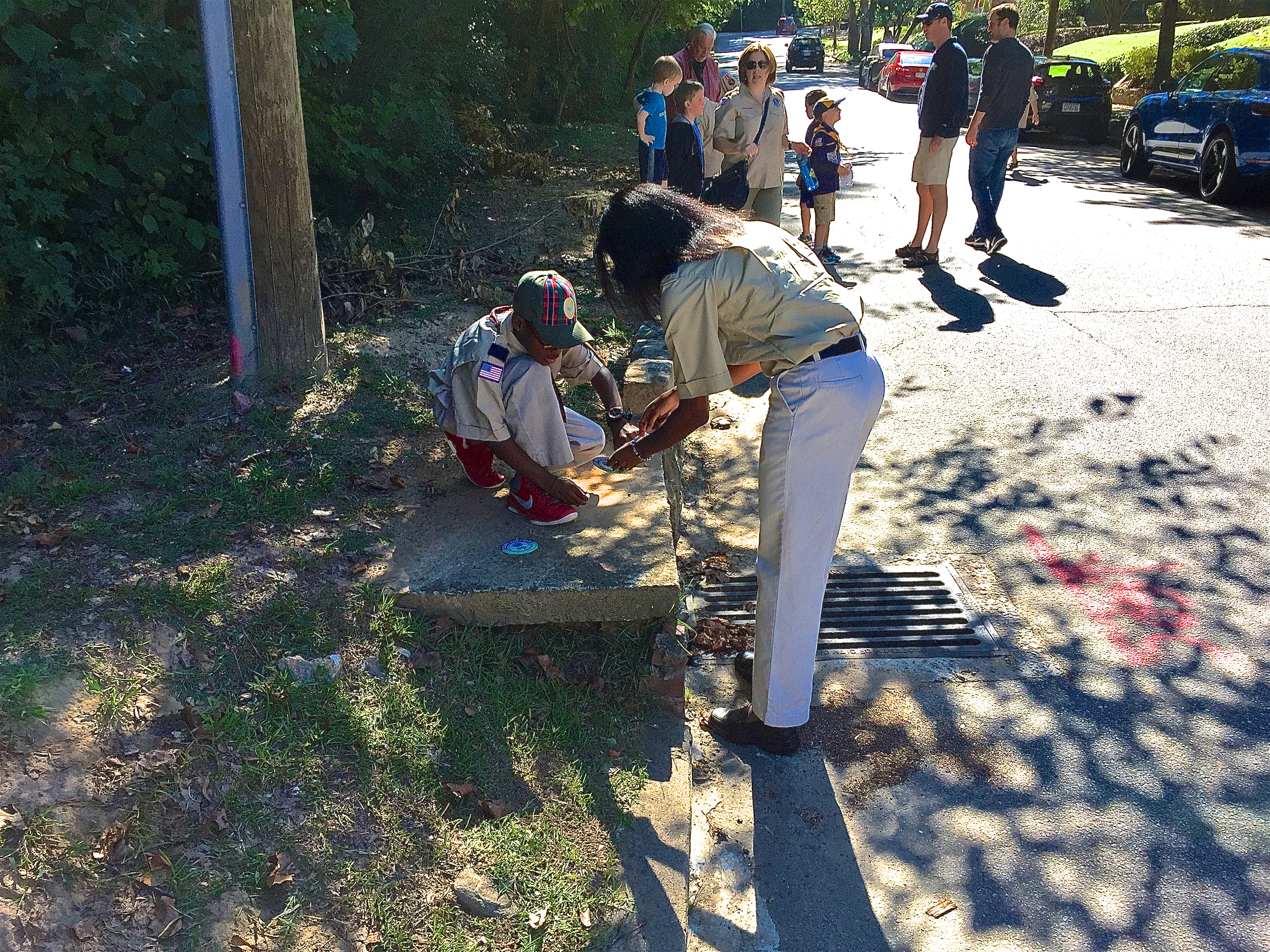
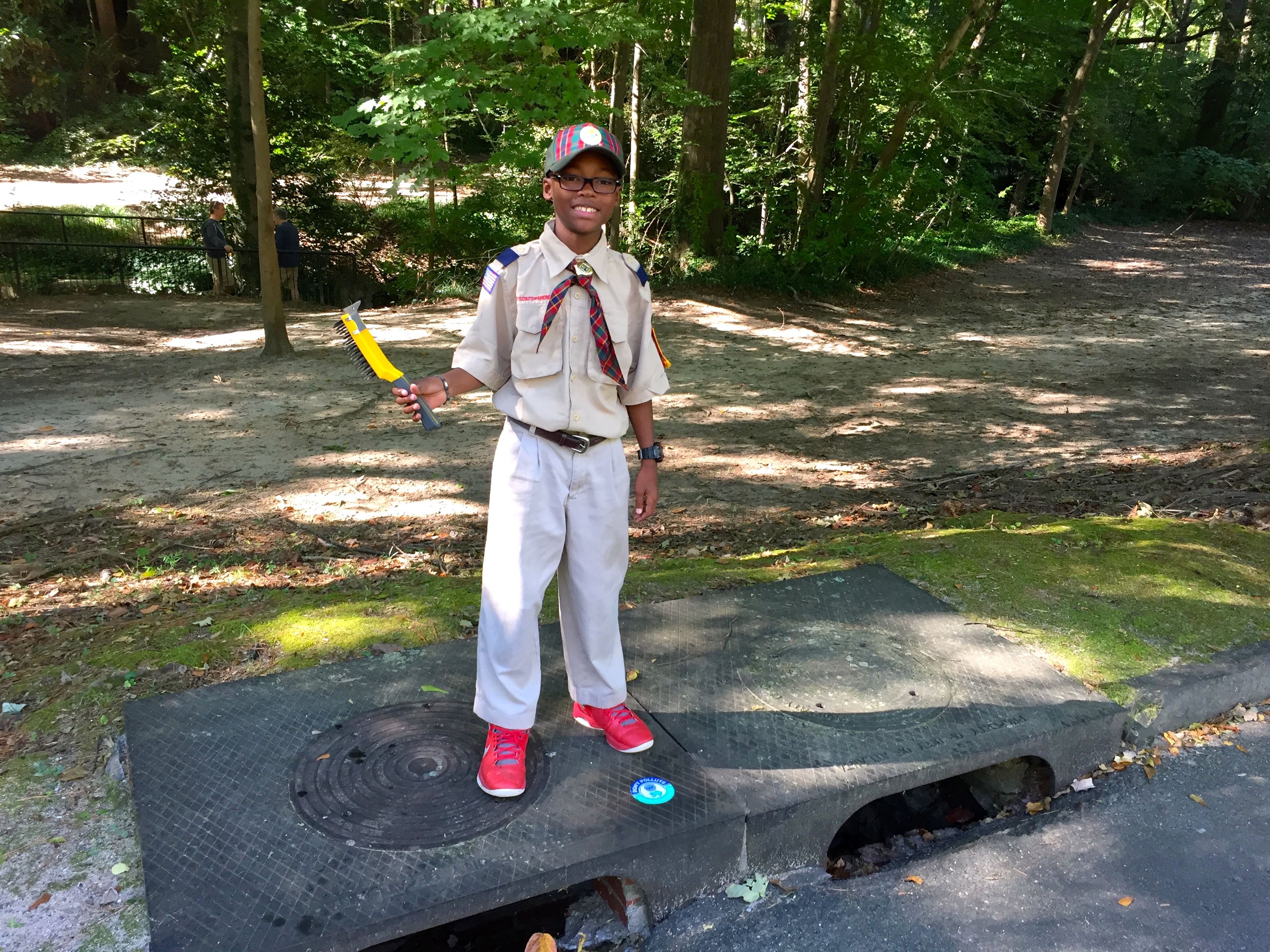
Water quality starts in our own backyards, an important fact that Cub Scout Pack 17 learned more about on Saturday, October 1, 2016. Informed by our Virginia-Highland Master Plan project #1.7, VHCA teamed up with the Department of Watershed Management (DWM) and an energetic group of Scouts and Webelos to install stormwater medallions on the drains closest to our most visible indicators of our watersheds: Orme Creek at Orme Park and a tributary to South Fork Peachtree Creek at Lenox-Wildwood Park Garden Park in Morningside. Many thanks to the pack and wonderful parents who came out to support the initiative.


The timing is ironic, as recently Orme Creek was polluted from a source at a higher elevation in the watershed. A diligent crew from the City’s DWM investigated the matter, including walking in the culvert that runs under Brookridge and spending many hours finding the cause of a stinky situation. For the full story, you can read more here (link https://vahi.org/orme-creek-fouled-by-grease-citys-stormwater-recon-crew-responds/)
Why does it matter what gets into our local creeks?
The answer goes beyond the beauty and enjoyment that many local citizens derive from being near those streams. All natural systems are inter-related; the macroinvertebrates in the creek, the fish, the insects, the birds, the mammals – their mutual health depends on one another.
These tributaries and creeks flow far beyond our borders, carrying with them all our accumulated impacts. This is especially prescient as you consider that water isn’t created from scratch. Energy-intensive industrial processes are required to clean water so into a potable, drinkable form we all appreciate.


VaHi’s Subwatersheds
Virginia-Highland has two sub-watersheds, Rock Creek and Clear Creek; both eventually flow to Peachtree Creek and on to the Chattahoochee River and the Gulf of Mexico at Apalachicola Bay. Appropriately-named North ‘High-land’ Avenue is broadly the boundary between them.
Rainfall to the east of Highland flows (either underground or via several patches of surface streams) into Rock Creek, which heads north into South Peachtree in Johnson-Taylor Park in Morningside. The very top of Rock Creek is visible behind the east side of Arlington Place and – more obviously – at Amsterdam Avenue and McLynn.
Orme Creek starts to the west of Highland, as rainfall flows downhill to the west. However most of it is channeled underground, with only a few sections – like Orme Park – above ground. The water then flows into Clear Creek, which itself emerges onto the surface at the northern edge of Piedmont Park on its way to Ansley Mall and the Golf Course, under I-85, along the border of Brookwood, and into Peachtree Creek west of the Piedmont Road bridge near Lindberg Drive. A trip to the South Fork Confluence Trail is truly worth the trip to see it firsthand.
Inside its namesake park, Orme Creek is easy to observe and approach. Its surface life (low volume, like Rock Creek) begins behind houses between LA Avenue (on the south) and Glen Arden (on the north.) It collects some water from underground storm drains throughout the immediate neighborhood.