See also: Aerial atlas of Atlanta 1949
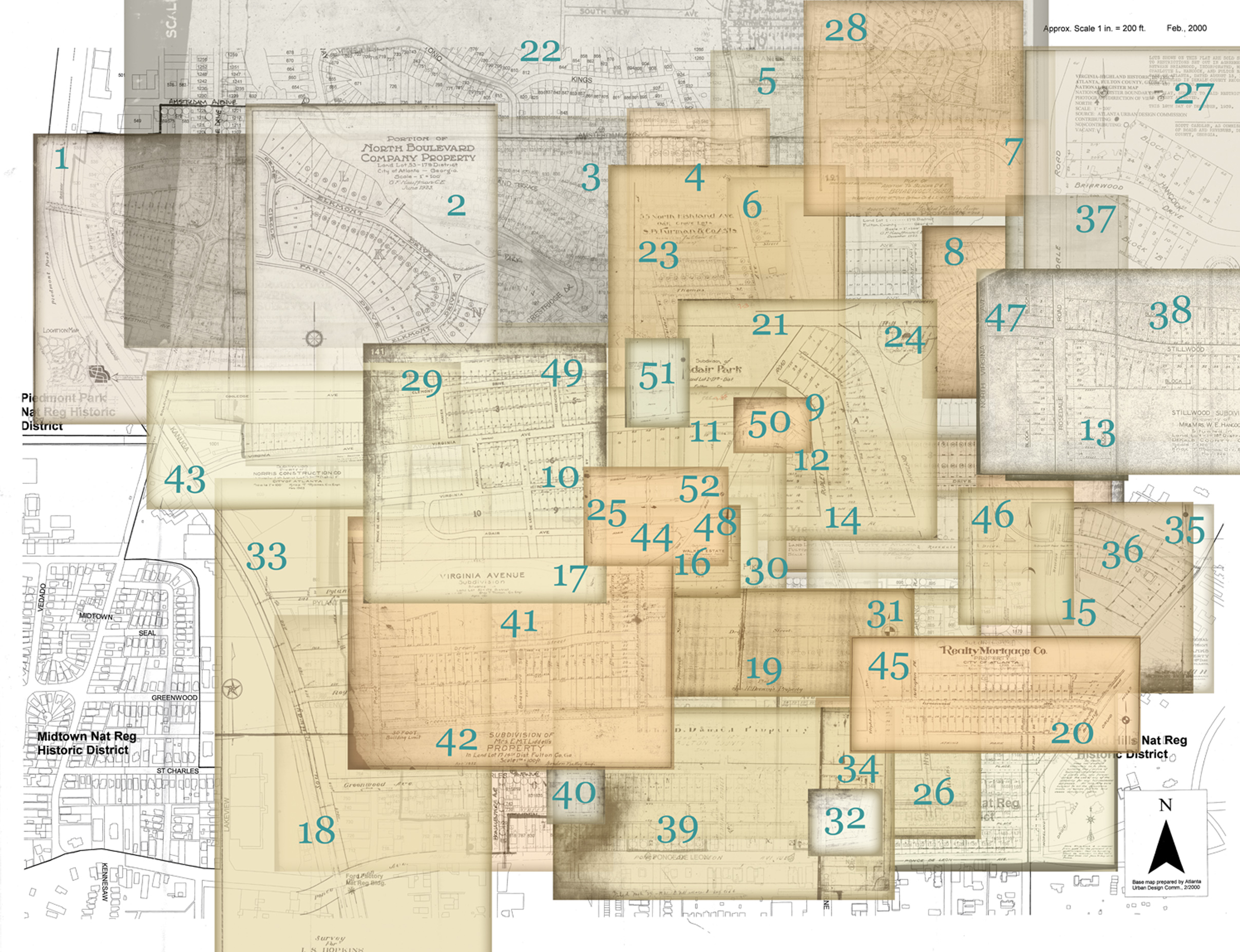
Each area below has multiple maps. Instructions below guide you on how to view all maps for an area.

Map Instructions:
- Click a number above to see development maps for that area. The development maps will open in a new browser tab.
- At the right and left sides of the area development maps are arrows which will show you additional maps for that area.
- To return to map collage, return to the previous browser tab which should still be open.
- Once in a gallery, click on the title of the image, at the bottom, to open a copy in PDF format that you can save to your computer.
For more, visit Preservation and History
